🎉 Up to 70% Off Selected ItemsShop Sale

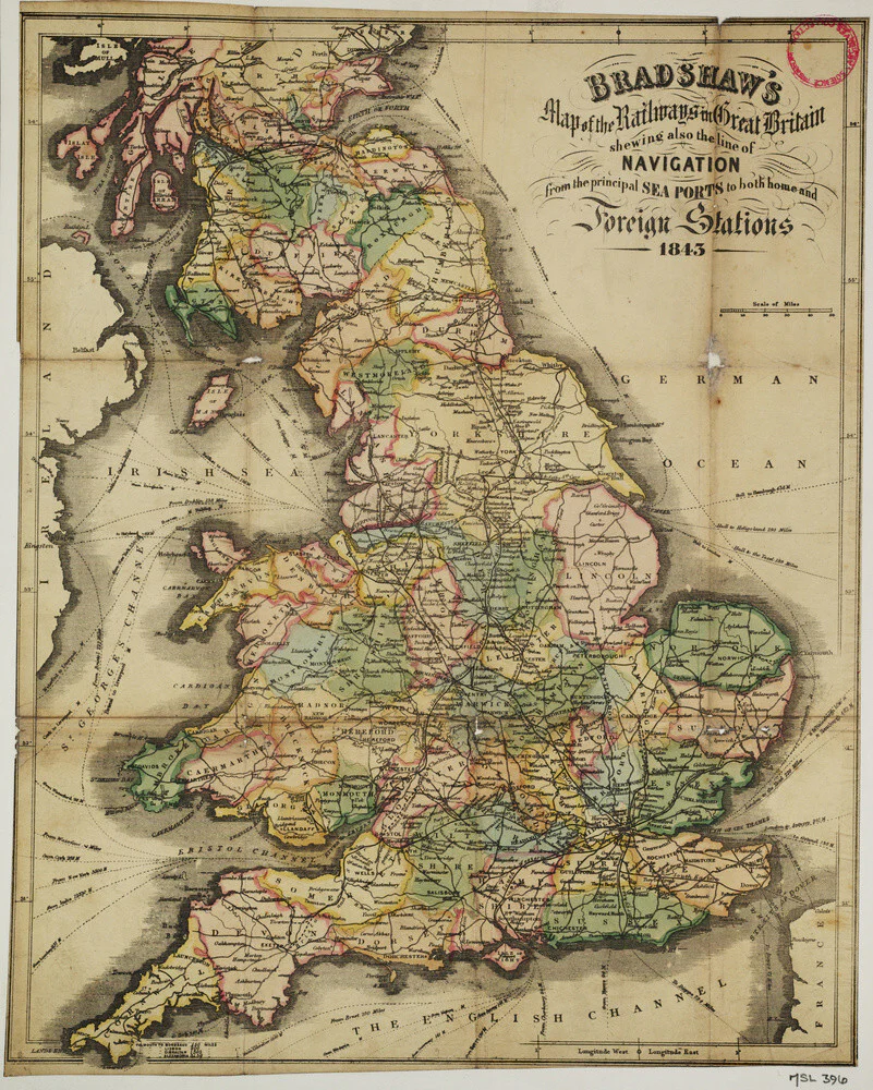


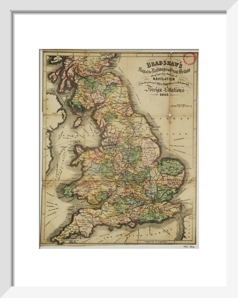


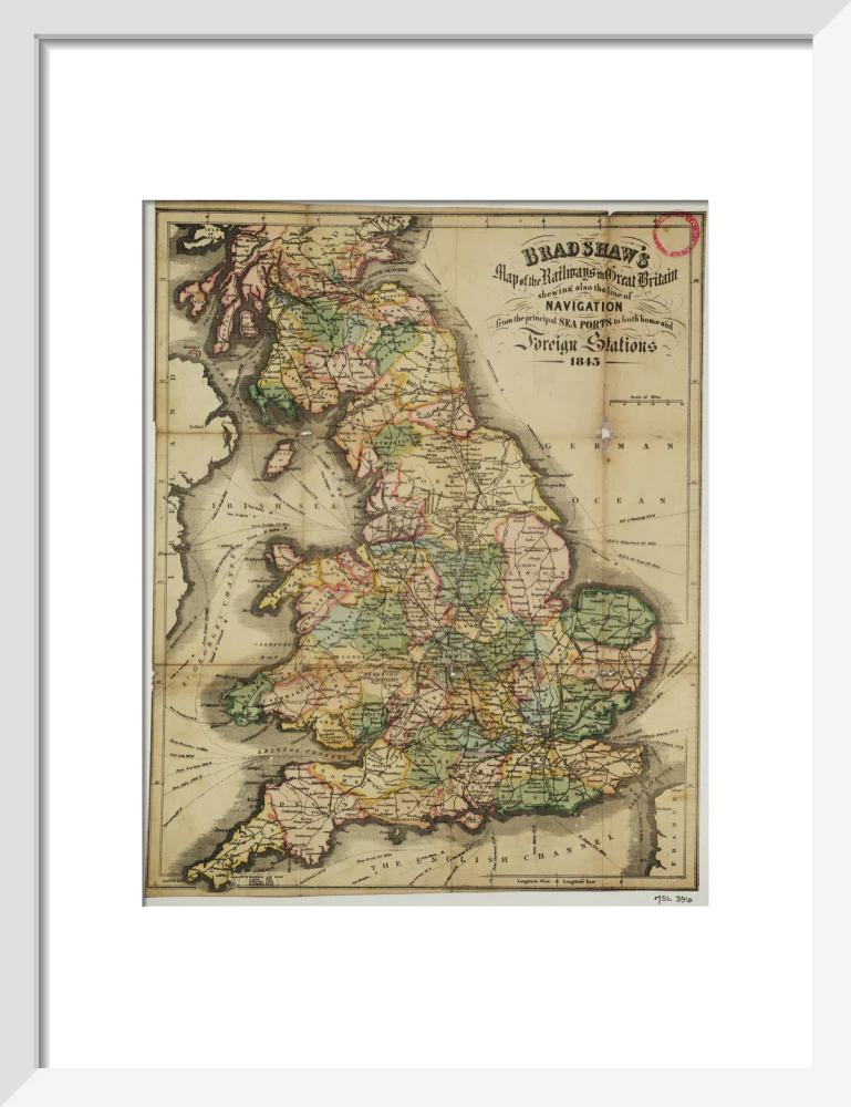


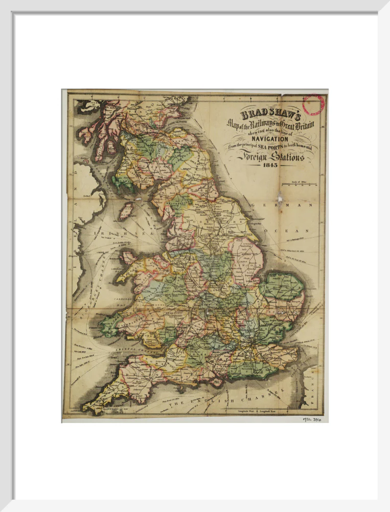
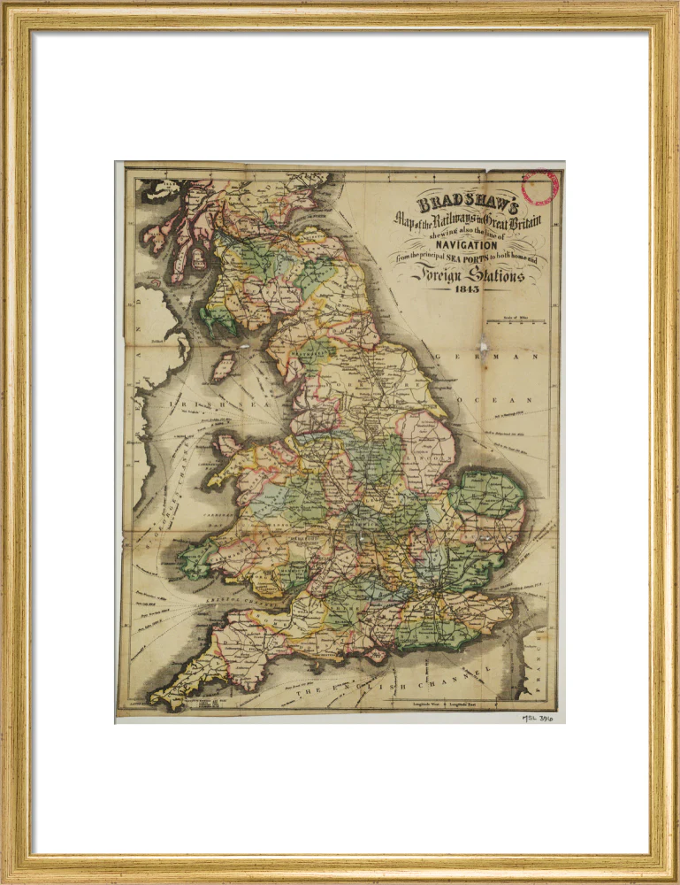


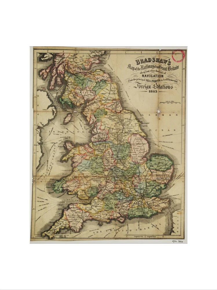
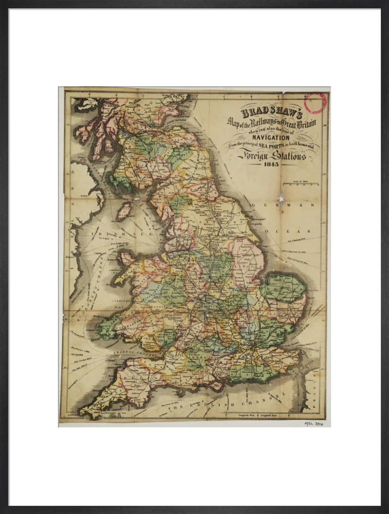
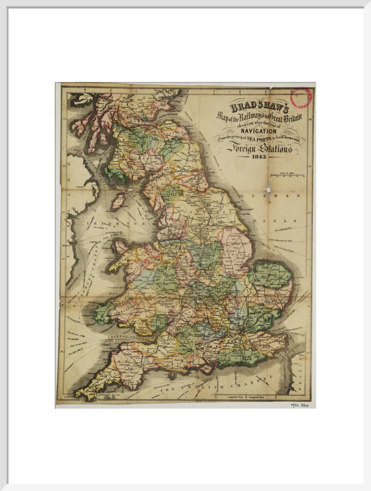
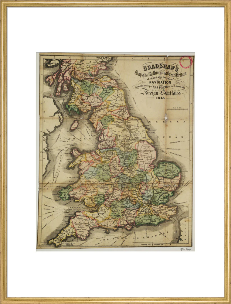
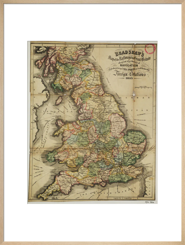
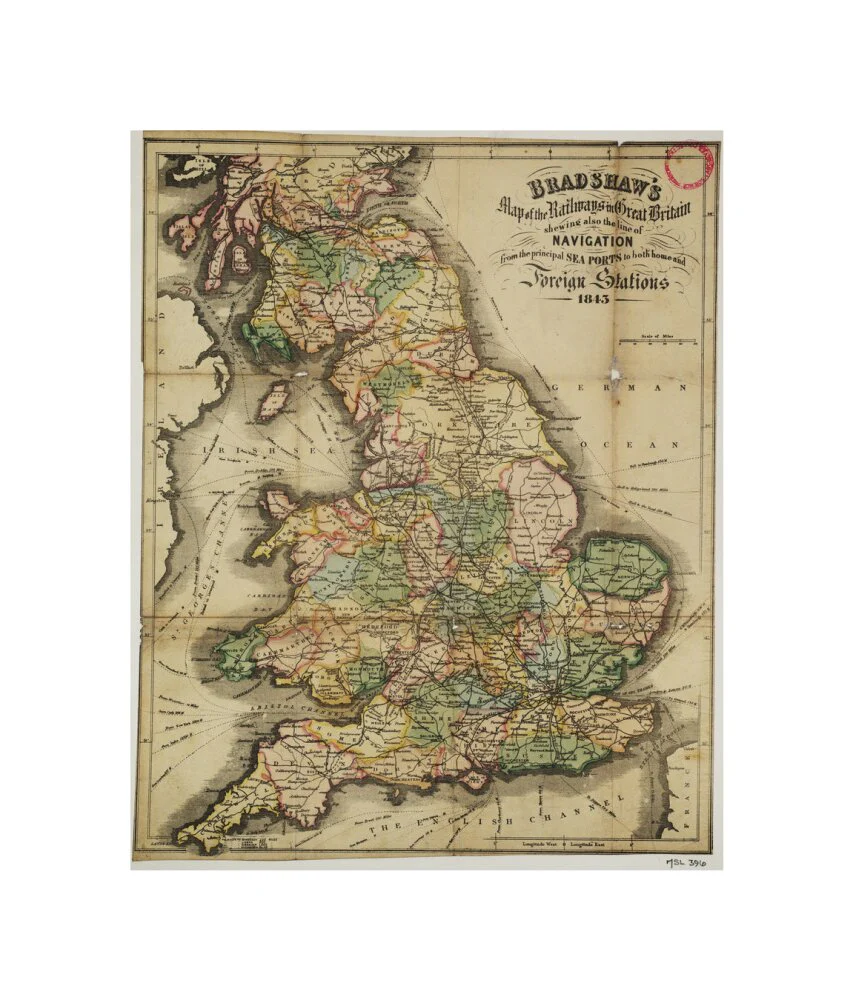


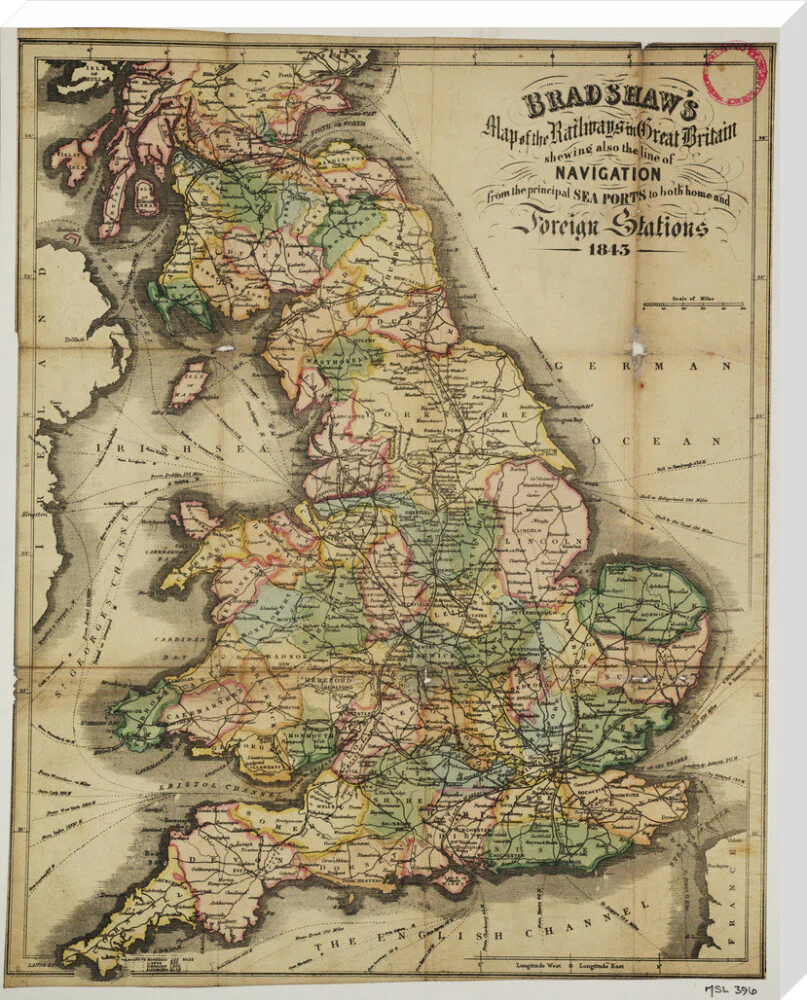
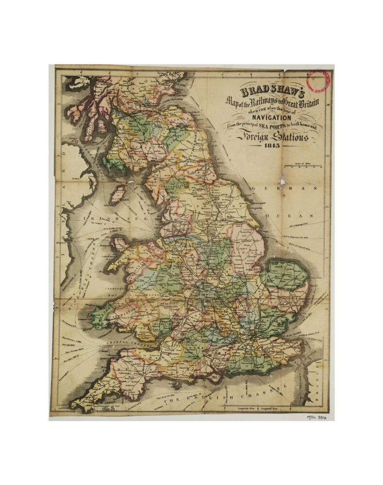
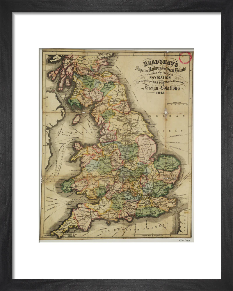
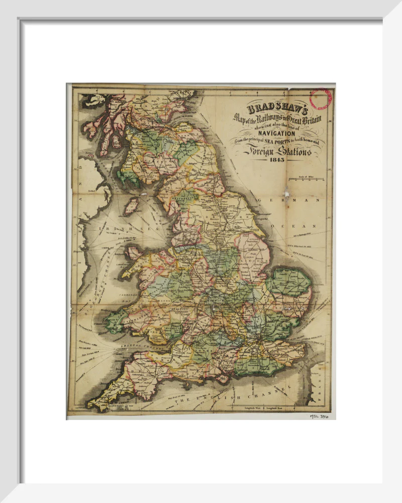


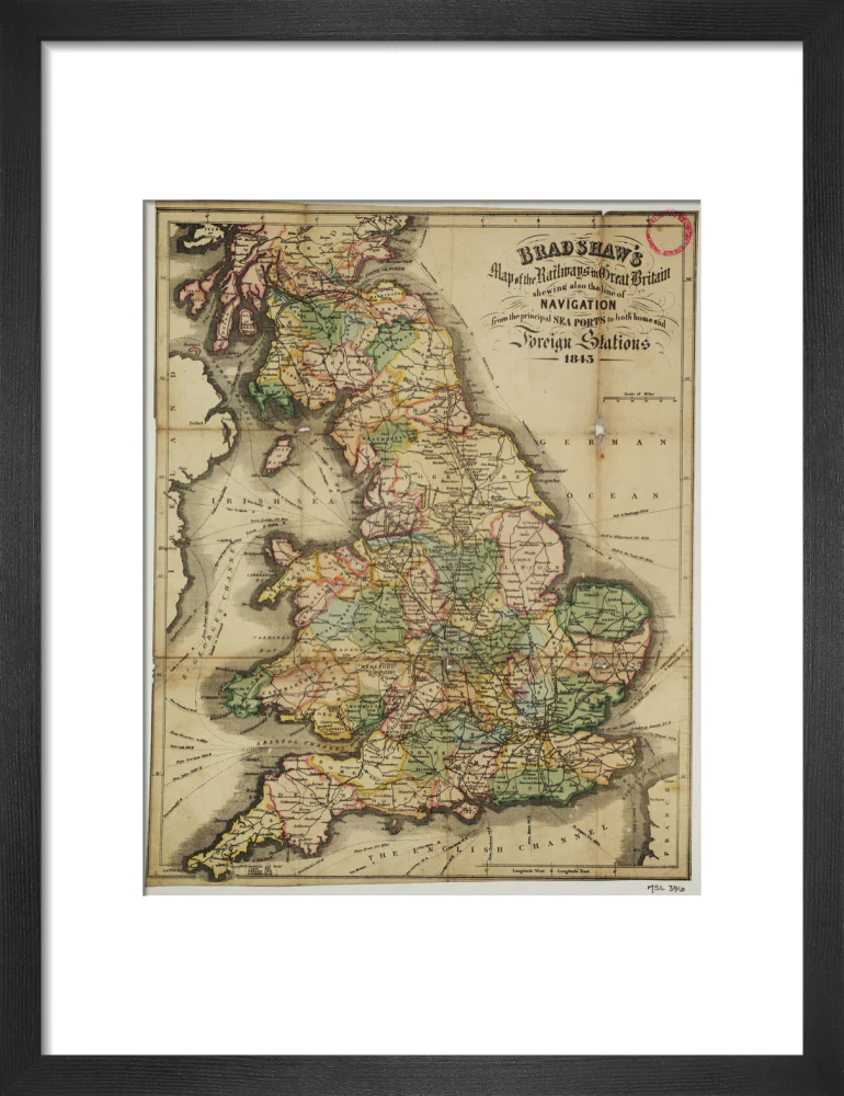
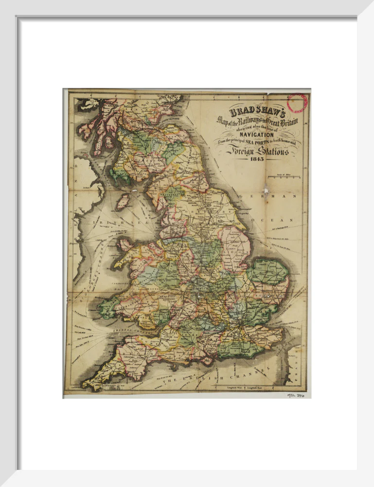

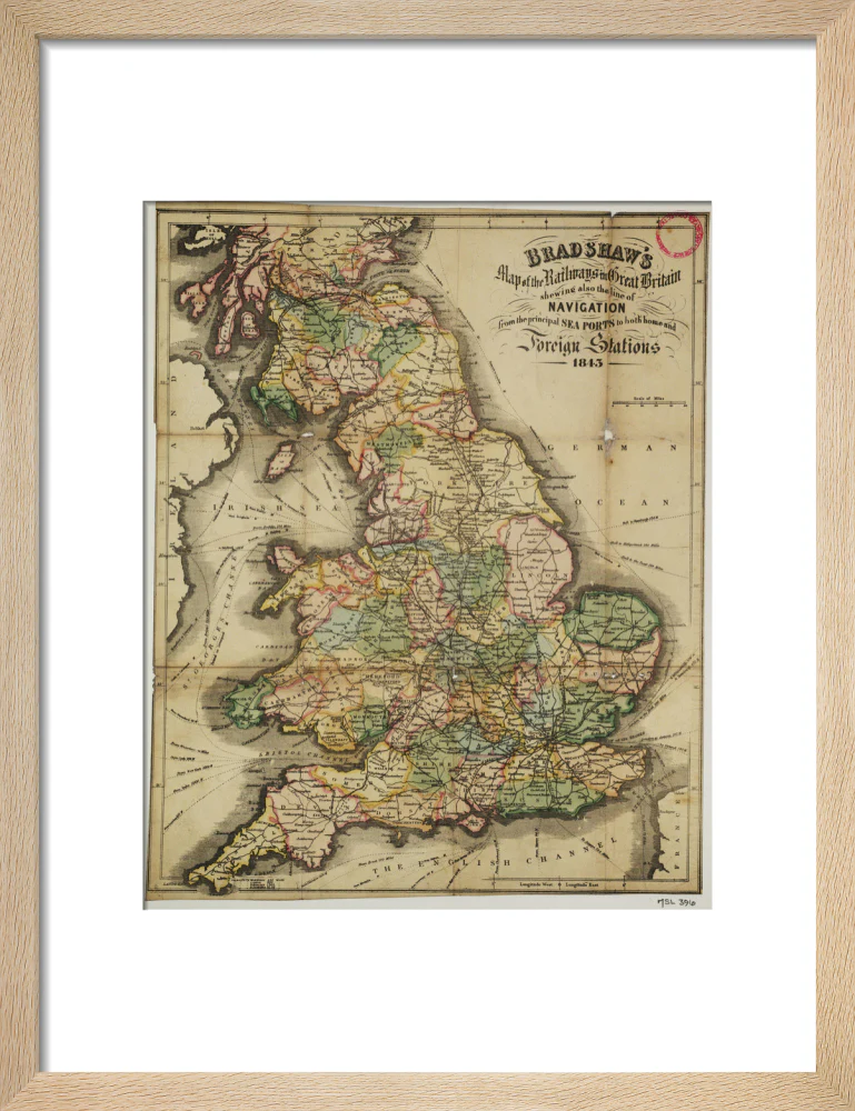


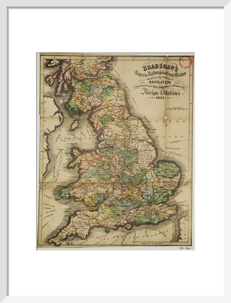


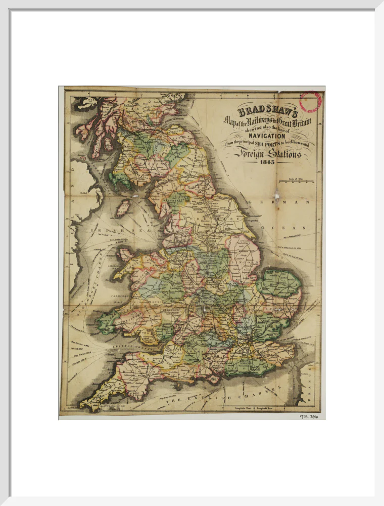


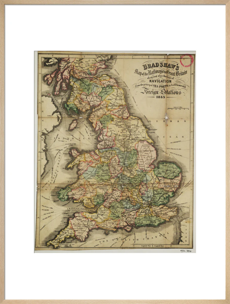


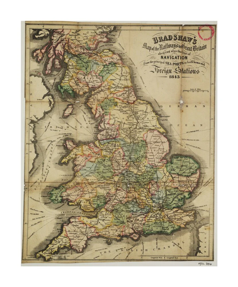

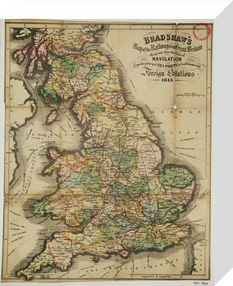
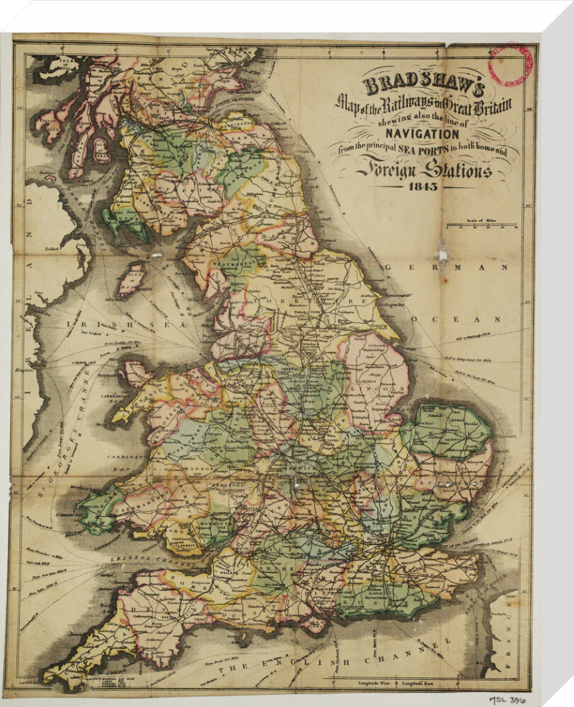


Bradshaw's Map of the Railways in Great Britain shewing also the line of Navigation from the principal Sea Ports .... George Bradshaw (1801-1853)
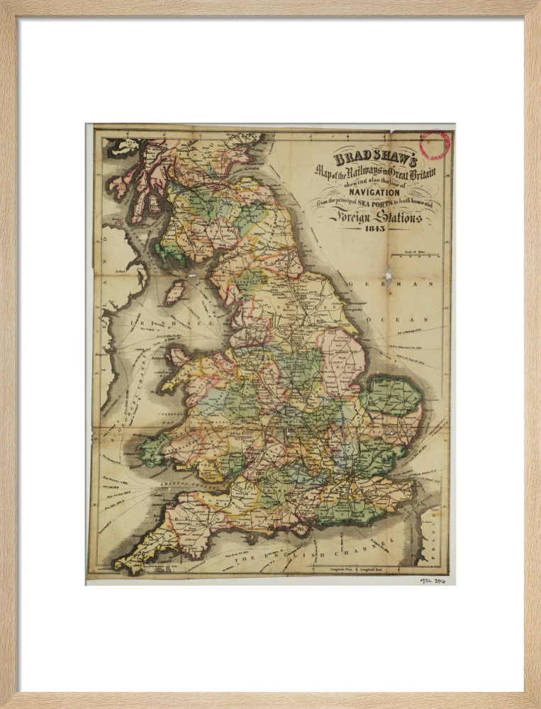
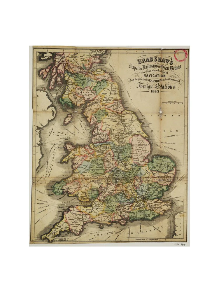
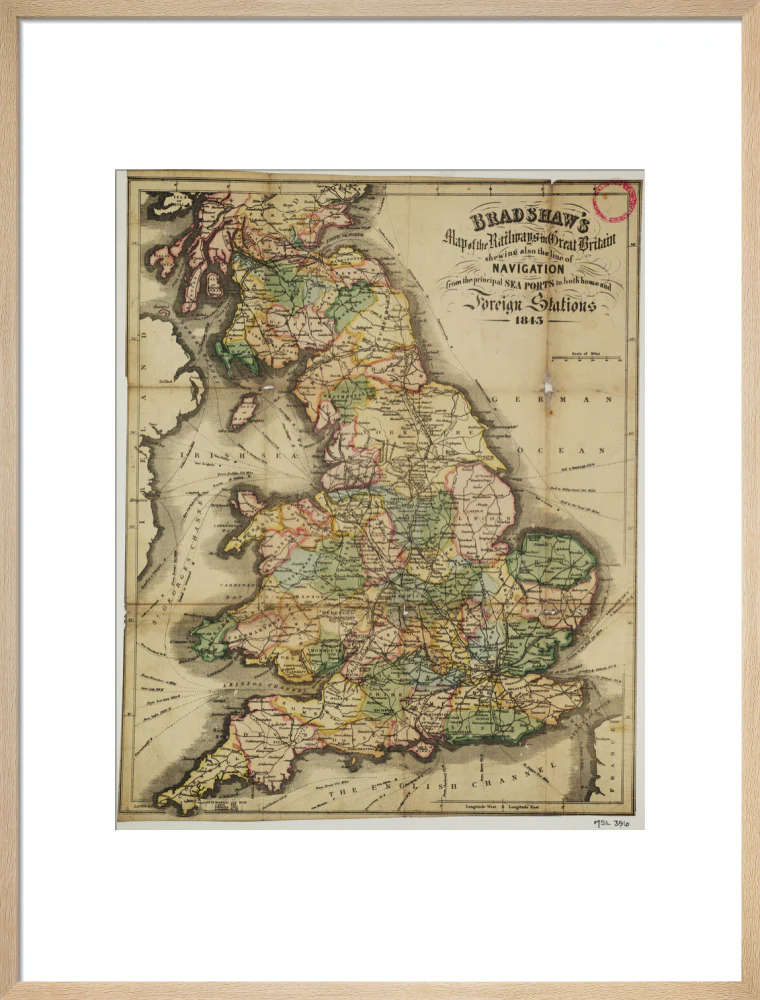
Coloured litho map. Bradshaw's Map of the Railways in Great Britain shewing also the line of Navigation from the principal Sea Ports to both home and Foreign Stations 1843 / G. Bradshaw. 1843. Published by Bradshaw's Publication Office, 59 Fleet Street, London. 2 sheets, scale 1 : 28m. Cover title is 'Bradshaw's Map of the Railways, and sections of Great Britain, 1844'. Also includes 'Compendium and sections of the principal railways in England', and details of completed railways, including their chairmen, secretaries, engineers and bankers. Both sheets originally folded within limp covers (14.5 x 9.5cm.) Conserved in 2001, the covers have been retained separately.
Select Type
Select Size
Select Frame
From $7.08
Original: $20.23
-65%Bradshaw's Map of the Railways in Great Britain shewing also the line of Navigation from the principal Sea Ports .... George Bradshaw (1801-1853)—
$20.23
$7.08Product Information
Product Information
Shipping & Returns
Shipping & Returns
Description
Coloured litho map. Bradshaw's Map of the Railways in Great Britain shewing also the line of Navigation from the principal Sea Ports to both home and Foreign Stations 1843 / G. Bradshaw. 1843. Published by Bradshaw's Publication Office, 59 Fleet Street, London. 2 sheets, scale 1 : 28m. Cover title is 'Bradshaw's Map of the Railways, and sections of Great Britain, 1844'. Also includes 'Compendium and sections of the principal railways in England', and details of completed railways, including their chairmen, secretaries, engineers and bankers. Both sheets originally folded within limp covers (14.5 x 9.5cm.) Conserved in 2001, the covers have been retained separately.