🎉 Up to 70% Off Selected ItemsShop Sale


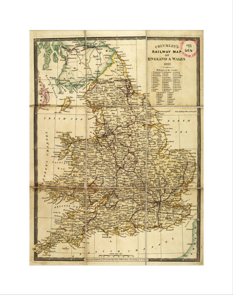


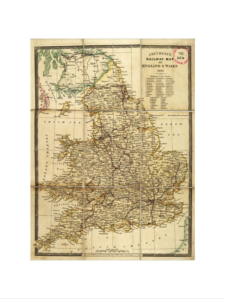

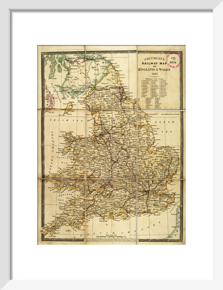
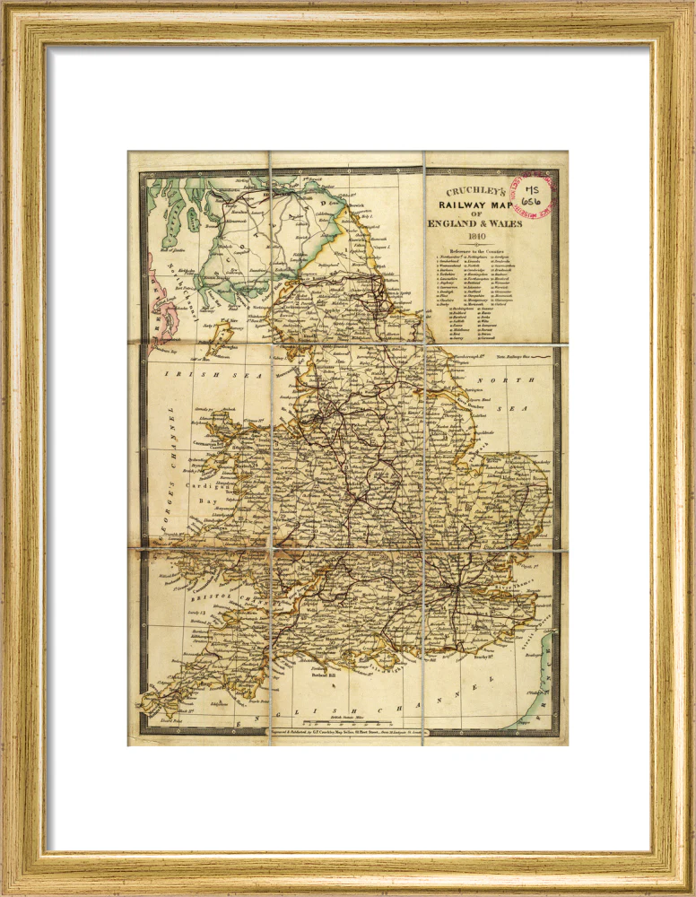


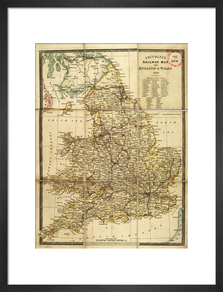


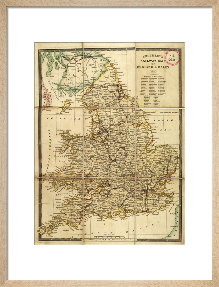


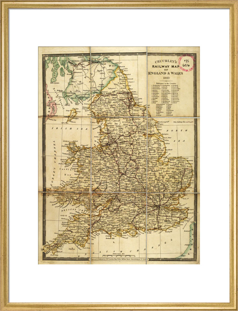


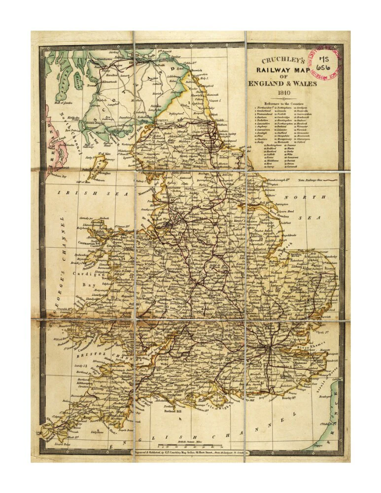
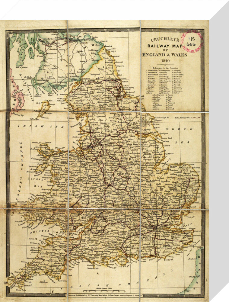
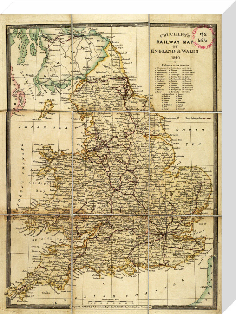


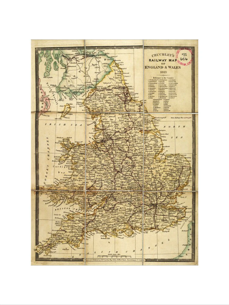


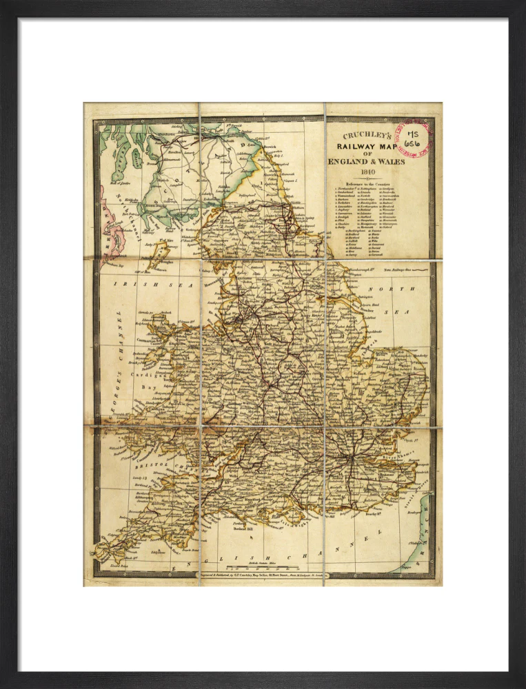


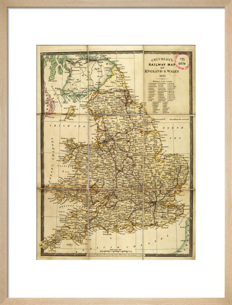

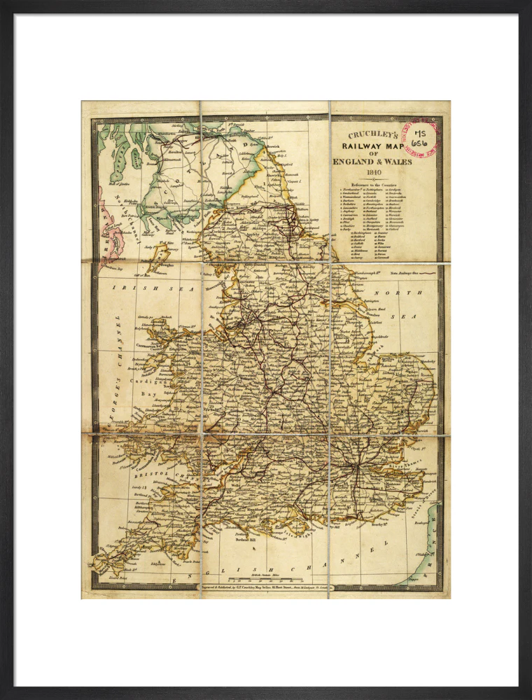

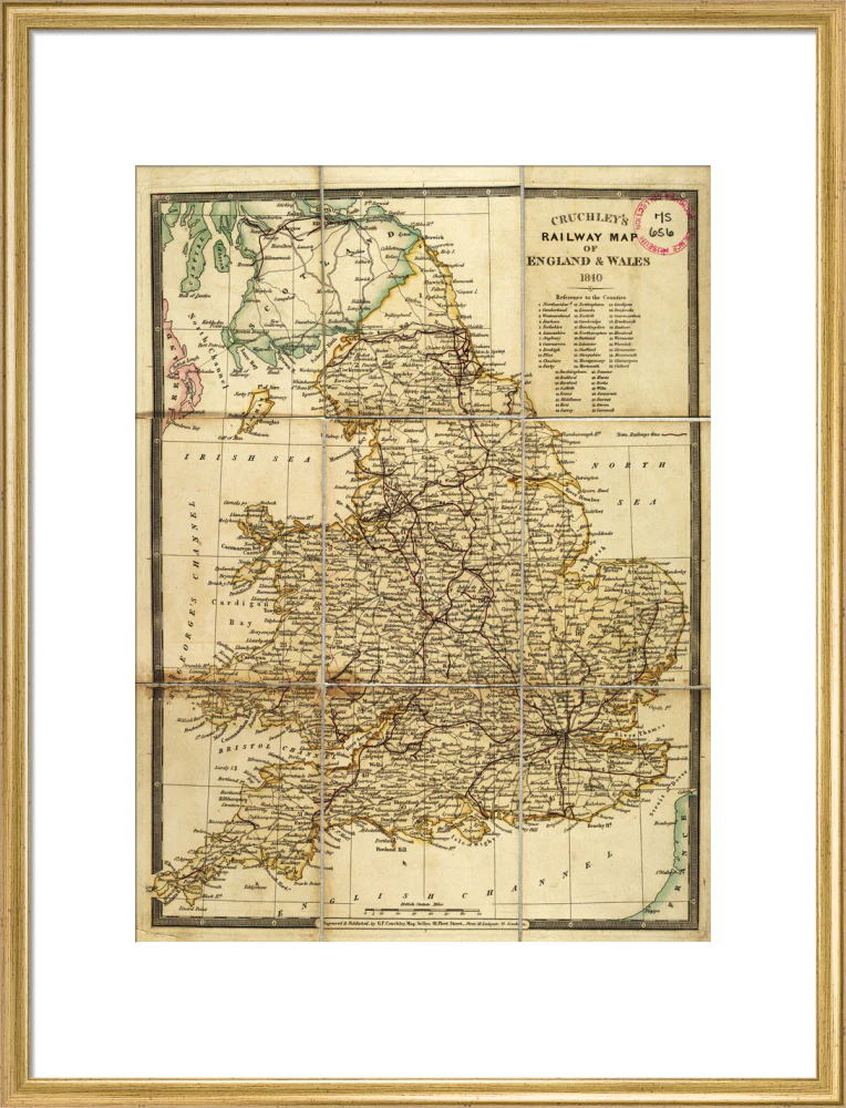


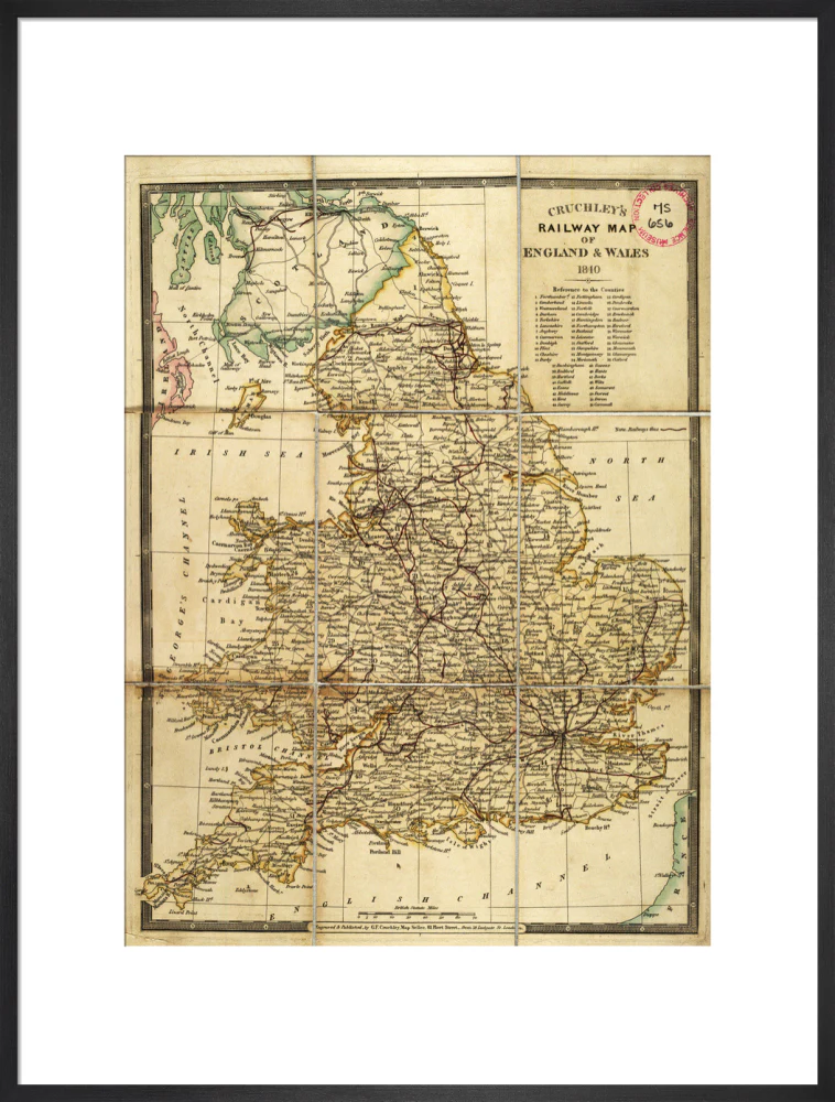
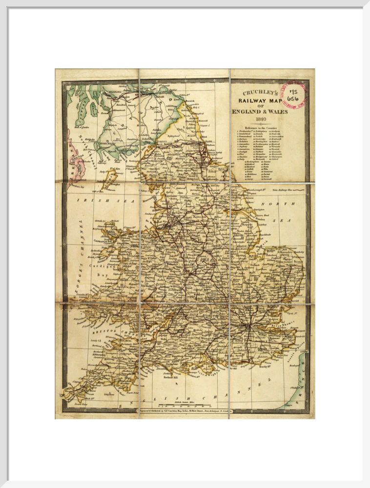


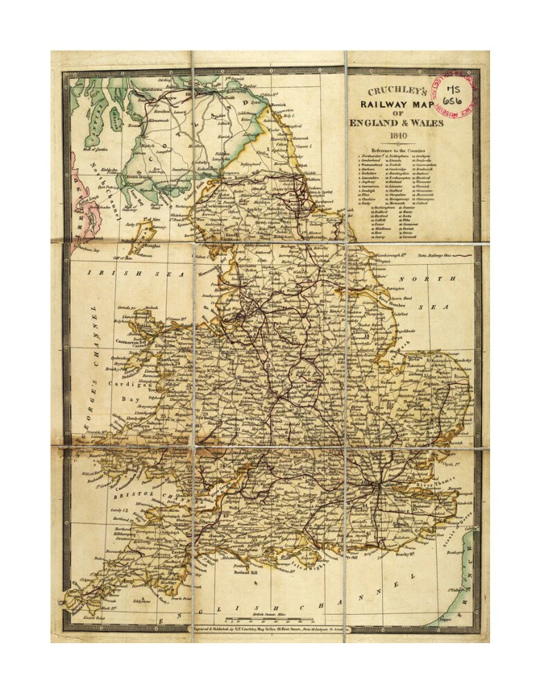
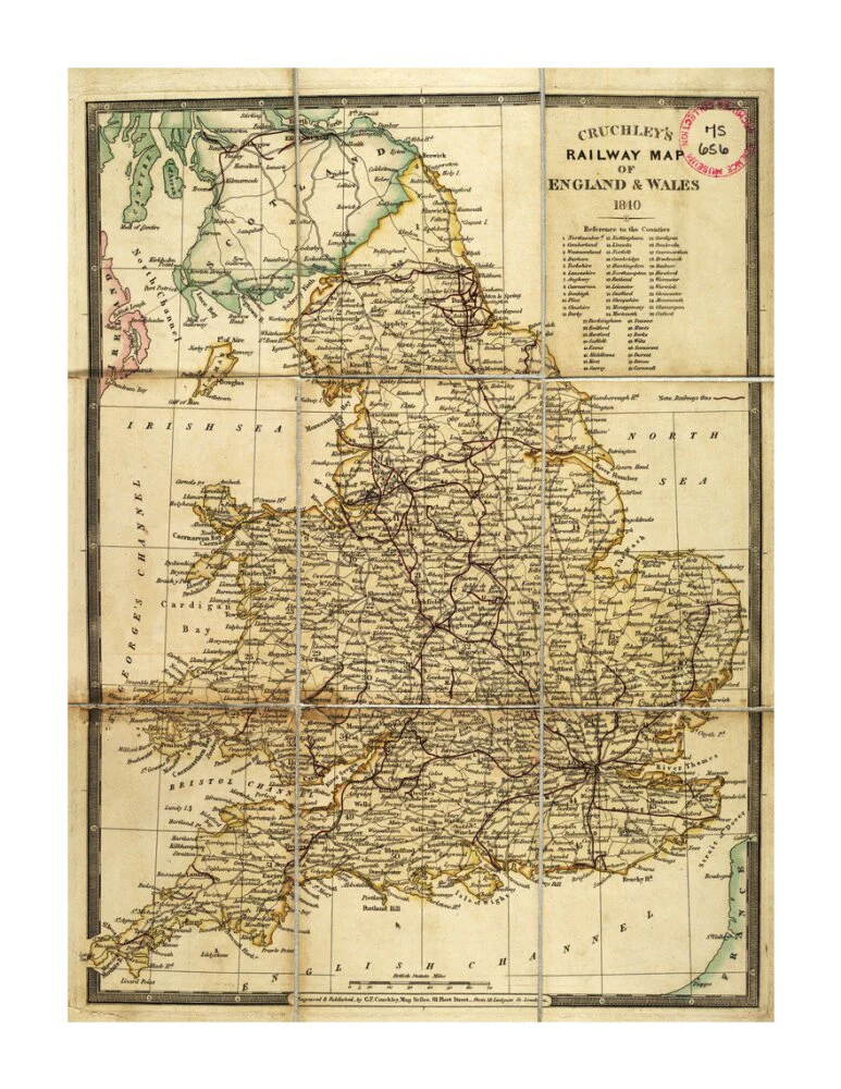
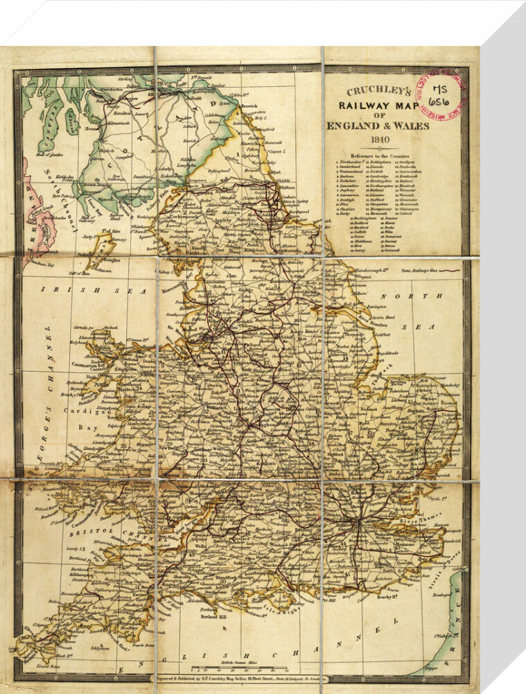


Cruhley's Railway Map of England and Wales 1840
Engraved and published by George Frederick Cruchley (1797-1880), map seller, 81 Fleet Street. Front board bears title 'Cruchley's New Map of the Railways and Principal Roads of England and Wales'. 1 sheet : 9 sections, folded in boards. Scale c.1" : 30m
Select Type
Select Size
Select Frame
From $7.08
Original: $20.23
-65%Cruhley's Railway Map of England and Wales 1840—
$20.23
$7.08Product Information
Product Information
Shipping & Returns
Shipping & Returns
Description
Engraved and published by George Frederick Cruchley (1797-1880), map seller, 81 Fleet Street. Front board bears title 'Cruchley's New Map of the Railways and Principal Roads of England and Wales'. 1 sheet : 9 sections, folded in boards. Scale c.1" : 30m